Getting Around Austin
Austin grew faster than its road network did, and the result is a metro where a car is still the default but transit is finally getting real investment. Here is how people actually move around Austin, what it costs, and which construction projects will shape your commute for the next several years.
CapMetro — Buses and MetroRail
Capital Metro, known locally as CapMetro, runs Austin's buses and its single rail line. Coverage is strongest inside the urban core and along the north-south corridors; suburban service thins out quickly once you get past Round Rock or Cedar Park.
- Local bus and MetroRapid: $1.25 per ride
- MetroRail Red Line: $3.50 per ride
- Fare caps: $2.50 a day and $41.25 a month on local service; $7.00 a day and $96.25 a month on commuter service
- How to pay: both caps apply automatically with the Umo app or a reloadable CapMetro fare card; contactless tap-to-pay gets the daily cap but not the monthly one
The fare cap matters more than the headline price. You never need to decide in advance whether a pass is worth it, because once your rides add up to the cap for that day or month, the rest are free.
MetroRapid: The Frequent-Service Backbone
CapMetro operates four MetroRapid bus rapid transit lines: 801 (North Lamar/South Congress), 803 (Burnet/South Lamar), 800 (Pleasant Valley), and 837 (Expo Center). The 800 and 837 lines opened in June 2026 and extended frequent service into east Austin, which had been the thinnest part of the network. If you are choosing a neighborhood and want a realistic car-light option, living within a few blocks of one of these four lines is the single best move you can make.
MetroRail Red Line
The Red Line is Austin's only passenger rail service: a 32-mile, 10-station commuter route running from Leander through Cedar Park, north Austin, and the Domain area into downtown. It is built for weekday commuters, so trains are frequent during peak hours and sparse at night and on weekends. Treat it as a commute tool rather than an all-purpose way to get around the city.
Project Connect: What Is Actually Being Built
Austin voters approved Project Connect in 2020. The light rail piece was scaled back substantially after cost estimates rose, and the approved Phase 1 now covers 9.8 miles and 15 stations, running from 38th Street through downtown before splitting toward Oltorf on South Congress and Yellow Jacket Lane on East Riverside. The project received its federal Record of Decision in February 2026, and construction is expected to begin in 2027. Nothing about your commute changes in the near term, but if you are buying a home with a 10-year horizon, the station map is worth a look.
Driving: I-35 and the Rest of the Grid
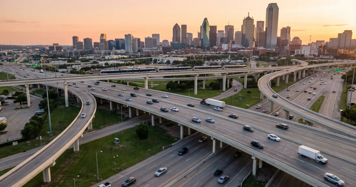
I-35 is the spine of the metro and its worst bottleneck. TxDOT's $4.5 billion I-35 Capital Express Central project began main construction in October 2024 and is scheduled to run through 2033, lowering the mainlanes through downtown and adding managed lanes. That is a long time to live with shifting ramps and lane closures, so factor it into where you live and when you leave the house.
- MoPac (Loop 1): the west-side north-south alternative to I-35, with a tolled express lane whose price rises with congestion
- US-183: connects Cedar Park and Leander south toward the airport
- SH-71: east-west route linking Bee Cave and the Hill Country to Austin-Bergstrom
- Loop 360 (Capital of Texas Highway): scenic west-side route that backs up at its signalized intersections
- SH-130: the eastern bypass toll road, with an 85 mph limit on its southern segment
Toll Roads & TxTag
Central Texas tolls run on TxTag. Get an account at txtag.org before your first toll trip, because pay-by-mail invoices carry higher rates. The main tolled facilities you will encounter are the MoPac Express Lane, SH 130, 183A through Cedar Park and Leander, the 290 Toll east of the city, and 45 Toll. Our Texas Toll Roads Guide covers setup and how the statewide tags interoperate.
Registering Your Car in Austin
Texas abolished the annual vehicle safety inspection in January 2025 under HB 3297, but emissions testing is still required in Travis and Williamson counties. If you live in either one, your vehicle needs a passing emissions test before you can renew registration, and a $7.50 inspection program replacement fee is added to the renewal. See our Texas vehicle registration guide for the full process and the 30-day deadline for new residents.
Biking and Walking
Central Austin is genuinely good for cycling by Texas standards. The Ann and Roy Butler Hike-and-Bike Trail runs roughly 10 miles around Lady Bird Lake and connects downtown, Zilker, and the east side without putting you in traffic. The Shoal Creek and Walnut Creek trails extend the network north. Once you leave the core, protected bike infrastructure gets patchy fast, and summer heat makes bike commuting impractical from June through September for most people.
Austin-Bergstrom International Airport (AUS)
Austin-Bergstrom International Airport served 21.7 million passengers in 2025 and is one of the fastest-growing airports in the country. It sits in southeast Austin, roughly 15 minutes from downtown outside of rush hour and 30 to 45 minutes from Cedar Park or Round Rock at peak. A multi-phase terminal and parking expansion is underway, so check which entrance and garage are open before you drive out.