Project Connect — Austin's Transit Future
Austin's traffic congestion has become legendary, but the city is investing $7.1 billion through Project Connect to fundamentally change how people move. Approved by voters in 2020, the plan has been scaled back from the original vision — Phase 1 now covers 9.8 miles of surface-running light rail with 15 stations (no downtown tunnel), targeting a 2033 opening.
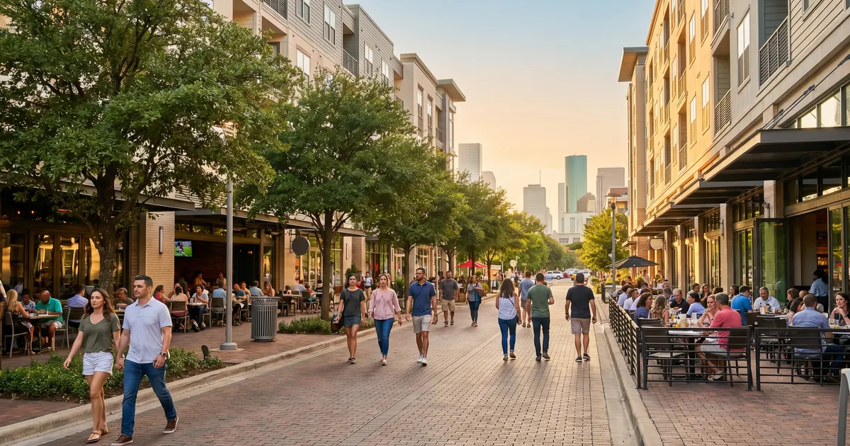
If you are relocating to Austin, understanding this transit plan is critical for your long-term housing decision. Neighborhoods along future rail lines will likely see increased connectivity and property value appreciation in the coming decade.
What Is Project Connect?
Project Connect is the most ambitious public transit investment in Austin's history. In November 2020, Austin voters approved a property tax increase to fund a comprehensive transit expansion. The original plan included two full light rail lines (27 miles, ~31 stations), a downtown transit tunnel, expanded MetroRapid bus service, and new park-and-ride facilities. Due to cost overruns, Phase 1 was significantly scaled back in 2024-2025: the tunnel was dropped, and the initial build covers 9.8 miles of surface-running light rail with 15 stations.
The project is managed by a partnership between Capital Metro and the Austin Transit Partnership (ATP). ATP also manages $300 million in anti-displacement funding dedicated to affordable housing along transit corridors. An ongoing lawsuit challenges the property tax bond funding mechanism, adding uncertainty to the timeline.
Project Connect Components
- Phase 1 Light Rail (9.8 mi) — 38th St/UT south through downtown, splitting to East Riverside and South Congress/Oltorf — 15 surface-level stations
- Future phases — Orange Line extension to Tech Ridge, Blue Line to Austin-Bergstrom Airport (no firm timeline)
- No tunnel in Phase 1 — the downtown transit tunnel was dropped due to cost overruns; all Phase 1 service runs at street level
- MetroRapid bus expansion — enhanced bus service with dedicated lanes, signal priority, and level boarding on key corridors
- Park-and-ride facilities — new and expanded park-and-ride lots at key highway interchange points for suburban commuters
- Anti-displacement fund — $300 million dedicated to affordable housing along transit corridors to protect existing communities
Light Rail Lines
Phase 1 covers 9.8 miles of surface-running light rail with 15 stations. The original plan envisioned two full lines; Phase 1 combines portions of both. Future phases would extend to Tech Ridge (north) and the airport (southeast).
Orange Line
Phase 1: 38th St to South Congress/OltorfPhase 1 runs from 38th Street near UT Austin south through downtown at surface level (no tunnel), then splits to East Riverside and South Congress/Oltorf. This route serves Austin's densest population and employment centers. Future phases would extend north to Tech Ridge.
Key Stations
Blue Line
East Riverside branch (Phase 1) / Airport (future)Phase 1 includes a branch to East Riverside Drive, serving the rapidly growing apartment communities and Oracle's campus along Riverside. The full Blue Line extension to Austin-Bergstrom Airport is planned for a later phase — no firm date has been set.
Key Stations
MetroRapid Bus Service
While light rail construction progresses, Austin is expanding its MetroRapid bus network. MetroRapid buses feature dedicated lanes on some segments, traffic signal priority, level boarding platforms, and 10-minute frequencies during peak hours. This is the transit improvement you will experience soonest after relocating.
Existing MetroRapid Routes
- 801 North Lamar / South Congress — from Tech Ridge P&R to Southpark Meadows, Austin's busiest transit corridor
- 803 Burnet / South Lamar — from the Domain to Westgate Transit Center, serving the Burnet Road corridor and South Lamar
Planned Expansion
- Expo Center route — connecting East Austin and the Travis County Expo Center area to downtown
- Pleasant Valley route — north-south service on the east side of Austin, connecting Mueller to East Riverside
- Dedicated lanes — more corridors getting bus-only lanes and signal priority for faster, more reliable service
Impact on Neighborhoods & Property Values
Transit-oriented development is already beginning to reshape Austin neighborhoods along the planned rail corridors. Here is what the data from other cities suggests for Austin.
Properties within 1/2 mile of rail stations historically see 10-25% value premium
Based on data from Denver, Portland, Dallas, and Houston light rail systems
North Lamar Corridor
Orange LineCurrently an auto-dominated corridor with strip malls and aging apartments. Expect significant redevelopment near station sites as the Orange Line progresses. Early investors are already acquiring properties along the route.
East Riverside
Blue LineAlready transforming with major apartment and mixed-use development. The Blue Line connection to downtown and the airport will accelerate this trend. Oracle's new campus is nearby, adding employment density to the corridor.
South Congress / South Austin
Orange LineThe southern segment of the Orange Line will bring rail to South Austin for the first time. Neighborhoods near Stassney Lane and South Congress stations could see the most dramatic value increase as construction nears completion.
The Drag / UT Area
Orange LineAlready one of Austin's highest-demand areas due to UT Austin. Rail will further improve access and reduce parking pressure. Student housing and mixed-use development will intensify near the Guadalupe station.
Airport Area / Del Valle
Blue LineThe Blue Line terminus at ABIA will make the airport corridor more attractive for both residents and businesses. Currently an affordable area, it may see substantial appreciation as airport rail connectivity becomes a reality.
Downtown
Both LinesPhase 1 light rail runs through downtown at surface level — the originally planned tunnel was dropped due to cost overruns. Surface-level rail still improves connectivity and could support car-optional living for some downtown residents. Already expensive, downtown values will be further supported by rail access.
Timeline & Construction Updates
Project Connect is being built in phases. Here is the current timeline, though schedules for transit mega-projects frequently shift.
Voter Approval
Austin voters approve Project Connect with 58% support, authorizing the property tax increase and establishing the Austin Transit Partnership.
Planning & Design
Environmental review, engineering design, community engagement, and federal funding applications. MetroRapid improvements begin rollout during this phase.
Phase 1 Construction
Construction of 9.8 miles of surface-running light rail with 15 stations from 38th St/UT through downtown to East Riverside and South Congress/Oltorf. Expect road disruption along Guadalupe, Congress Avenue, and Riverside corridors. Target: initial light rail service by 2033.
Future Phases
Orange Line extension north to Tech Ridge, Blue Line extension to Austin-Bergstrom Airport, possible downtown tunnel (deferred from Phase 1), and full system integration. No firm dates for future phases.
How This Affects Your Relocation Decision
If you are relocating to Austin in the next few years, Project Connect should influence where you choose to live. Here are the key considerations.
Opportunities
- Buy near future stations now — properties near planned light rail stations may appreciate significantly as construction progresses
- MetroRapid works today — existing MetroRapid routes already provide viable transit along North Lamar, South Congress, and Burnet Road
- Car-optional future — living along the Orange or Blue Line corridors could make car ownership optional within 5-10 years
Considerations
- ! Construction disruption — expect road closures, detours, noise, and dust along rail corridors during the 2027-2033 construction period
- ! Timeline risk — transit mega-projects often experience delays; plan based on current transit options, not future promises
- ! Property tax impact — the voter-approved tax increase funds Project Connect and affects all Travis County property owners
Current Capital Metro Service
While Project Connect is under development, here is what Austin's transit system offers today.
MetroRail Red Line
Commuter rail from downtown Austin (Convention Center) to Leander, with stops at Plaza Saltillo, Highland, Crestview, Lakeline, and Leander. Operates primarily during rush hours on weekdays. Limited weekend service.
MetroRapid Bus
High-frequency bus routes 801 (North Lamar/South Congress) and 803 (Burnet/South Lamar) run every 10-15 minutes during peak hours. Level boarding and limited stops make these significantly faster than local bus routes.
Park-and-Ride
Express bus service from suburban park-and-ride lots to downtown and other employment centers. Key locations include Tech Ridge (North), Lakeline (Northwest), Oak Hill (Southwest), and Pflugerville. Free parking at most facilities.
Current reality: Austin's transit system is functional but limited compared to Houston (METRO), Dallas (DART), and most major U.S. metros. A car is effectively required for most Austin residents today. Project Connect aims to begin changing this by 2033, but in the near term, plan your housing with driving as the primary commute method. Use our commute calculator to estimate drive times from any neighborhood.
Frequently Asked Questions
What is Project Connect?
Project Connect is Austin's voter-approved transit expansion plan designed to build a modern, multimodal transit system for the growing Austin metro area. Approved by voters in November 2020 with 58% support, the original plan included two light rail lines, a downtown transit tunnel, and expanded bus service. Due to cost overruns, Phase 1 was scaled back significantly: the downtown tunnel was dropped, the route was reduced from 27 miles to 9.8 miles with 15 stations, and service will run at surface level. The $7.1 billion capital cost remains, though total project cost including financing is approximately $8.2 billion per the FTA. The project is managed by Capital Metro and the Austin Transit Partnership (ATP). Note: an ongoing lawsuit challenges the property tax bond funding mechanism.
When will Austin light rail be finished?
The current timeline targets construction beginning in 2027, with initial Phase 1 light rail service opening in 2033. This is a significant delay from the original 2029 target. Phase 1 covers 9.8 miles of surface-running light rail from 38th Street/UT south through downtown, splitting to East Riverside and South Congress/Oltorf, with 15 stations. The full Blue Line extension to Austin-Bergstrom Airport is a later phase with no firm date. MetroRapid bus improvements are on a separate, faster timeline with some routes already operational.
What are the Orange and Blue light rail lines?
The original plan envisioned two full lines spanning 27 miles with approximately 31 stations and a downtown tunnel. Phase 1, as currently planned, is a scaled-back 9.8-mile surface-running route with 15 stations. It runs from 38th Street near UT Austin south through downtown, then splits: one branch goes east to East Riverside Drive and another south along South Congress to Oltorf. The full Orange Line extension to Tech Ridge and the full Blue Line to Austin-Bergstrom Airport are planned for later phases. There is no tunnel in Phase 1 — all service runs at street level.
Will Project Connect increase property values?
Historically, properties within a half-mile of rail stations in other U.S. cities see a 10-25% value premium over comparable properties farther from transit. Austin is likely to follow this pattern along the Phase 1 corridor. Neighborhoods near the 15 planned stations — particularly around UT/38th Street, downtown, East Riverside, and South Congress — may see increased demand and price appreciation as construction progresses. However, the scaled-back Phase 1 (no tunnel, surface-running) will have less transformative impact than the original plan. Some nearby properties may also experience construction disruption and noise.
What transit does Austin have right now?
Austin currently has Capital Metro bus service (local and express routes), the MetroRail Red Line commuter rail from downtown to Leander (with stops at Plaza Saltillo, Highland, Crestview, and Lakeline), MetroRapid bus routes (Route 801 on North Lamar/South Congress and Route 803 on Burnet/South Lamar), and park-and-ride express services from suburbs. The system also includes CapMetro Pickup (on-demand microtransit) in select areas. Current transit ridership is modest compared to cities like Houston or Dallas, largely because Austin's bus network does not yet include dedicated lanes or signal priority on most routes.
How is Project Connect funded?
Project Connect is funded through a combination of local property tax revenue (an 8.75-cent increase per $100 of assessed property value approved by voters in 2020), federal grants (the project is competing for Federal Transit Administration New Starts and Capital Investment Grant funding), and Capital Metro operating revenue. The Austin Transit Partnership manages the capital program and the anti-displacement investments, which include $300 million dedicated to affordable housing along transit corridors. Note: an ongoing lawsuit challenges the legality of the property tax bond funding structure, which could affect the project timeline or scope.